Decision-making framework: bicycle streets, bicycle paths, and bicycle lanes
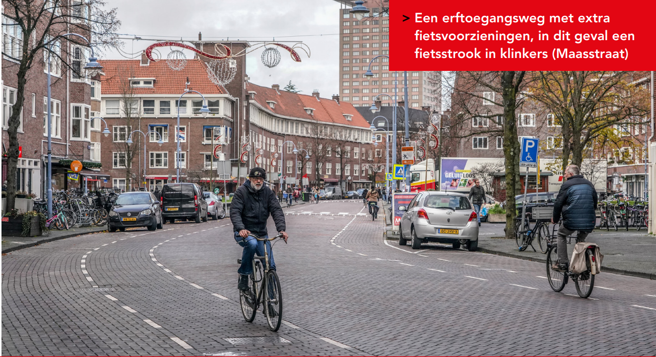
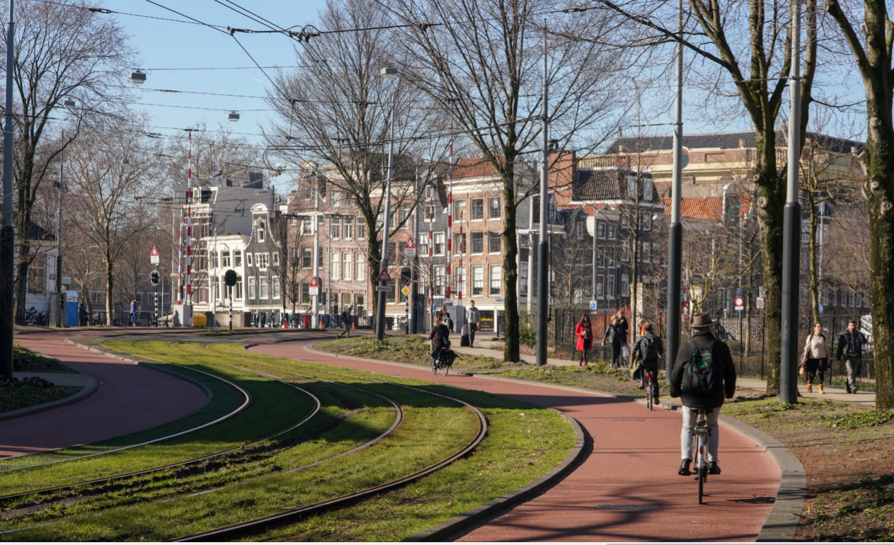
The city of Amsterdam offers both space to enjoy a pleasant stay and space for cycling. Often this combination strengthens each other: it is pleasing to cycle through green parks and along with beautiful squares. Yet this combination sometimes causes friction, for example, in busy shopping streets or residential streets where many cyclists and playing children require sufficient, safe space. Various design options are available to choose the right design in these places. But how do you decide?
To this end, the following memo has been drawn up by the municipality of Amsterdam: Decision-making framework: Bicycle Streets, Bicycle Paths & Bicycle Lanes.

Image: Municipality of Amsterdam
How do you weigh a street?
The decision-making framework addresses several questions such as: how do you ‘weigh’ a street? The so-called ‘weighing’ of the residential and traffic functions is difficult to describe in terms of numbers. The following factors were considered for optimal weighing:
- measurements of traffic intensities (number of pedestrians, cyclists, car movements, public transport movements);
- analysis of the ratio of through vs destination traffic;
- consultations with residents, entrepreneurs, and other users of the street;
- analysis of the network and future developments within the network.

Image: Municipality of Amsterdam
More information?
Find out more information on the website of Open Research here.
Please share your experience!
Is your city also home to different bicycle road designs such as bicycle streets, bicycle paths, and bicycle lanes? If so, which one do you prefer and why?
Please let us know via Disqus!
Location
City of Amsterdam
Amsterdam
Interesting documents

Aug 10, 2021


